
Four Nights on the Paria
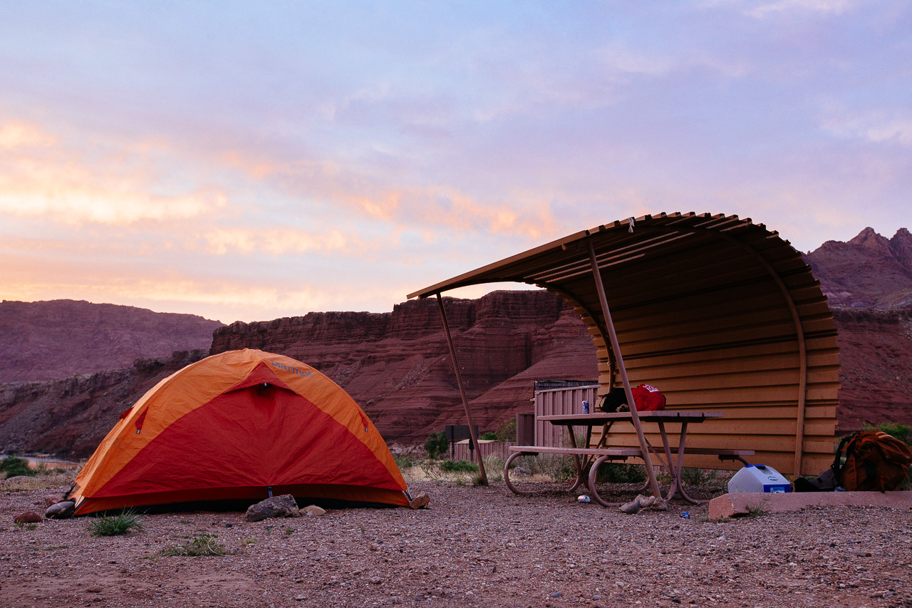
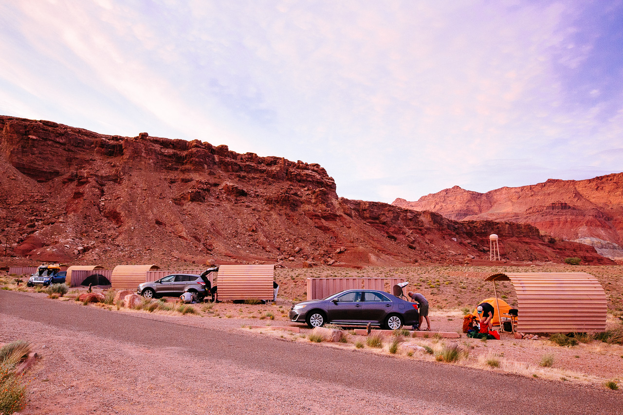 These shelters hinted that it could be a windy campground. We glamped this first night and were able to drink our soon to be missed beer.
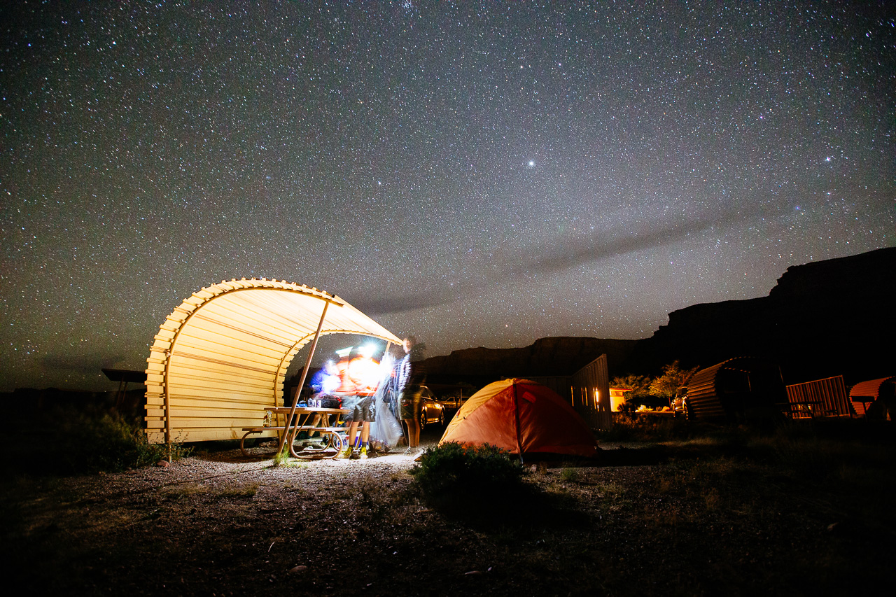 Anything left out had a magic way of disappearing overnight. Mars would suffer the worst casualty, as he would later realize all his “Wag Bags” were stolen by the wind. A “Wag Bag” is a required bag used to poop in and carry with you.
 Day 1 brought some bad news, 2 of our group, the Jims, would not be able to make it. They would instead explore the surrounding area.
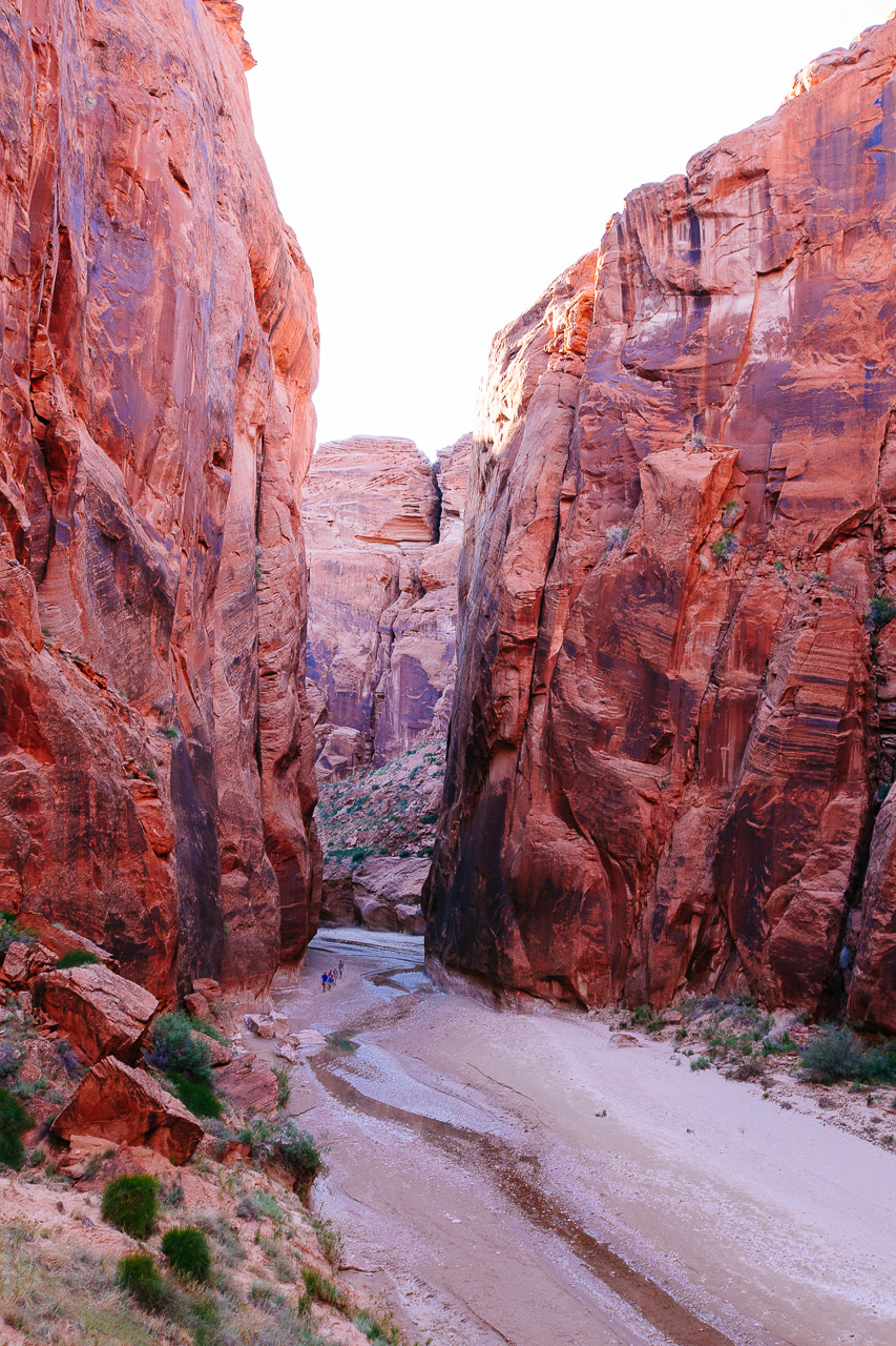
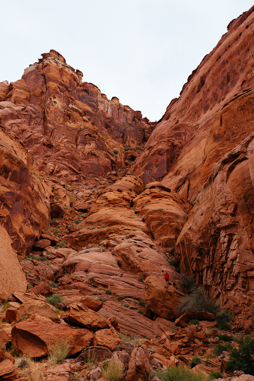
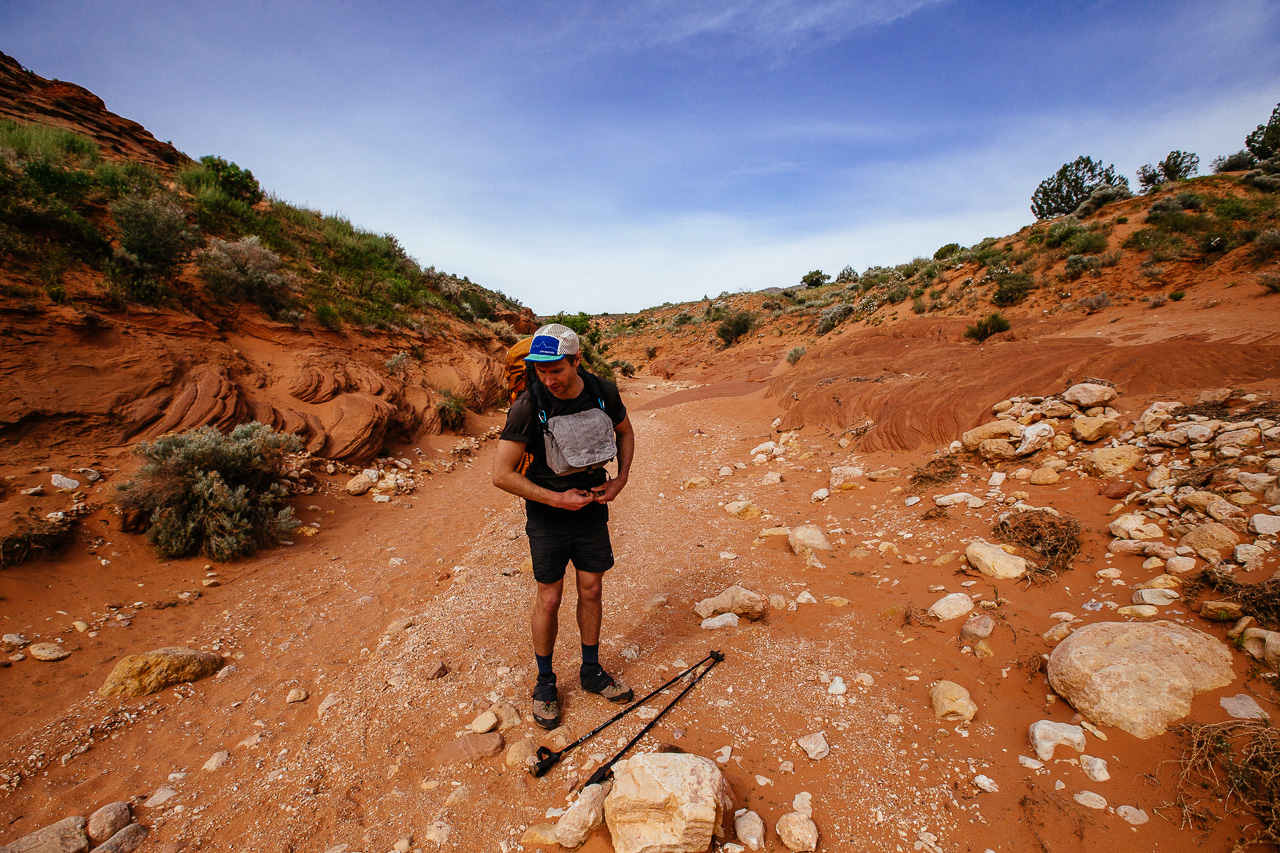 Mars and I decided to take a different route in than the rest of our crew - a slot canyon called Buckskin Gulch. We really had no clue if this was the trail. So, we just kept walking, hoping that it would lead to Wire Pass, a shortcut into the Gulch.
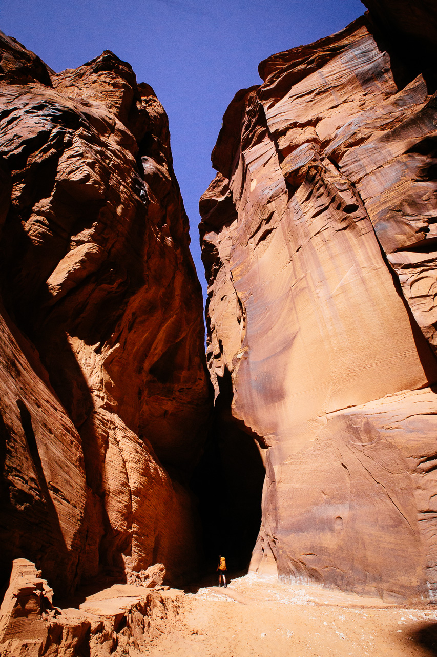
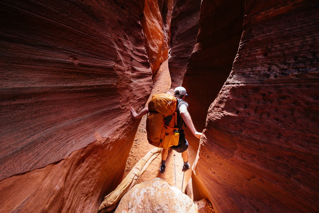 Wire pass came out of nowhere and dropped quickly under the Earth. Someone must have gone through and greased up all the logs, as they were too slippery for us to use.
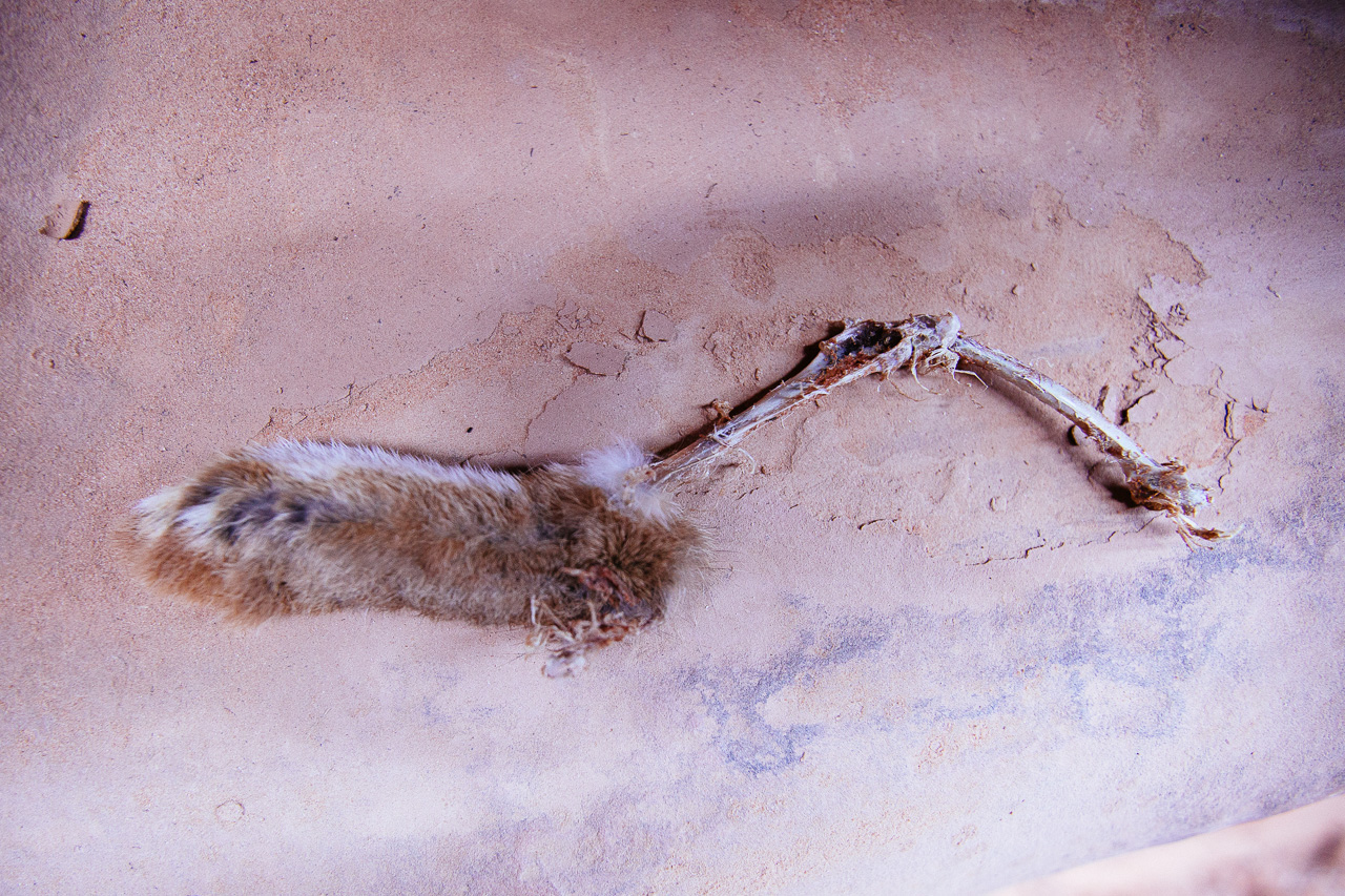 Was it bad luck to leave this rabbits foot? 9 out of 10 things down here seemed to be dead, except for some lizards and…
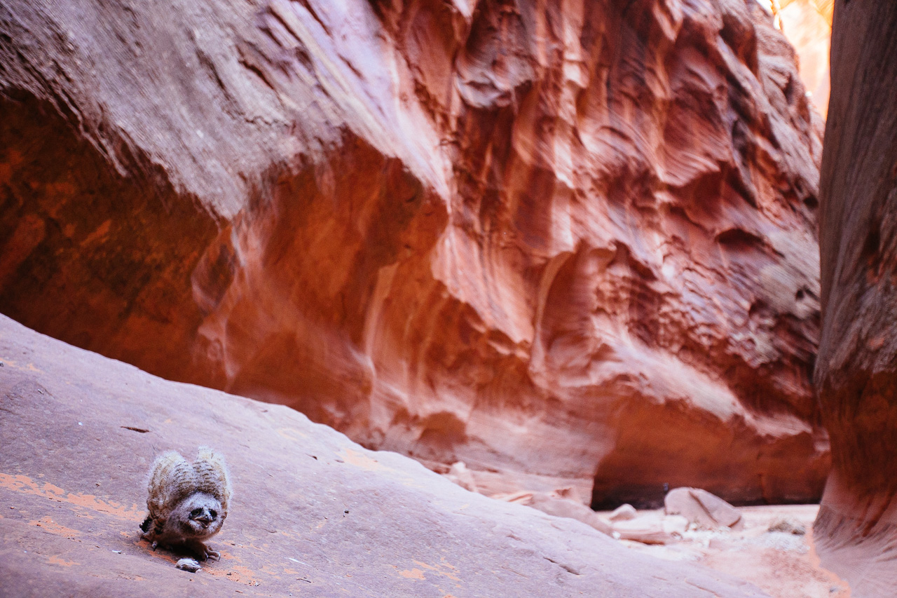 this bird creature. He had a pet mouse and was not very fond of us. Snapping his razor beak and flaring his wings. For a moment we contemplated putting him in our backpacks and raising him as our own.
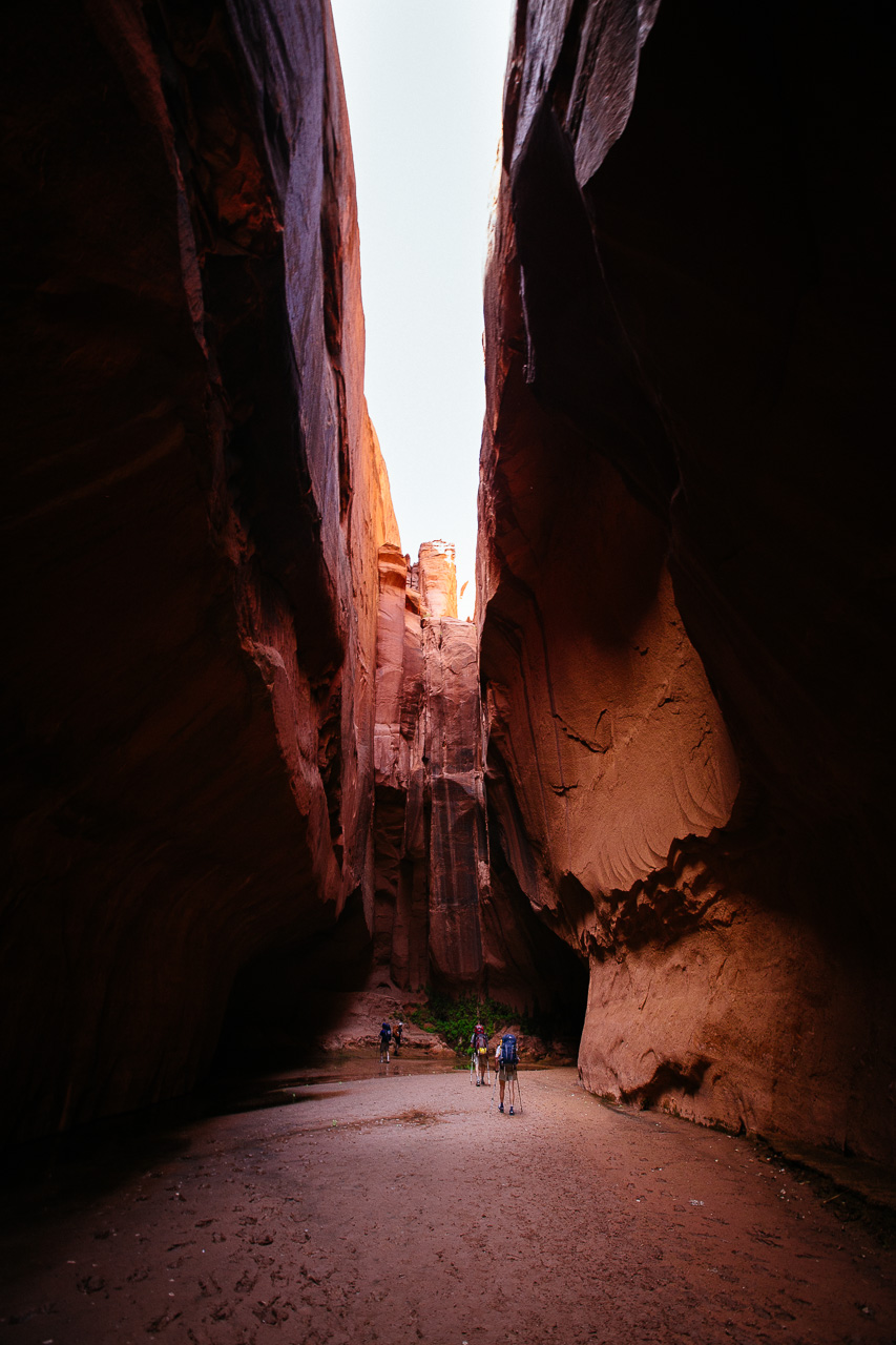
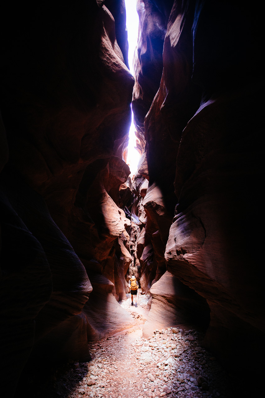 For most of the day we really had no clue how far we had gone. After a few miles everything started to look the same and it felt as thought the canyon would never end.
 Wider parts of Buckskin Gulch brought much needed warmth and sun. The narrower sections would offer shade and a chance to cool down. It was a very bipolar day in terms of temperature.
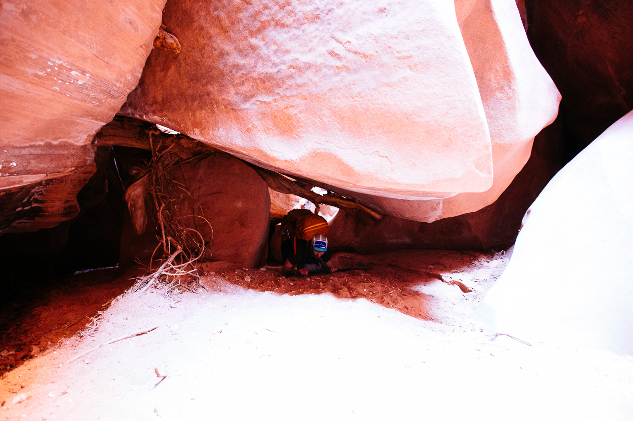 After searching for quite a while, we scrambled down into this rock jam and army crawled through the “Rabbit’s Hole.” For the first time, we knew where we were, and how far we had gone.
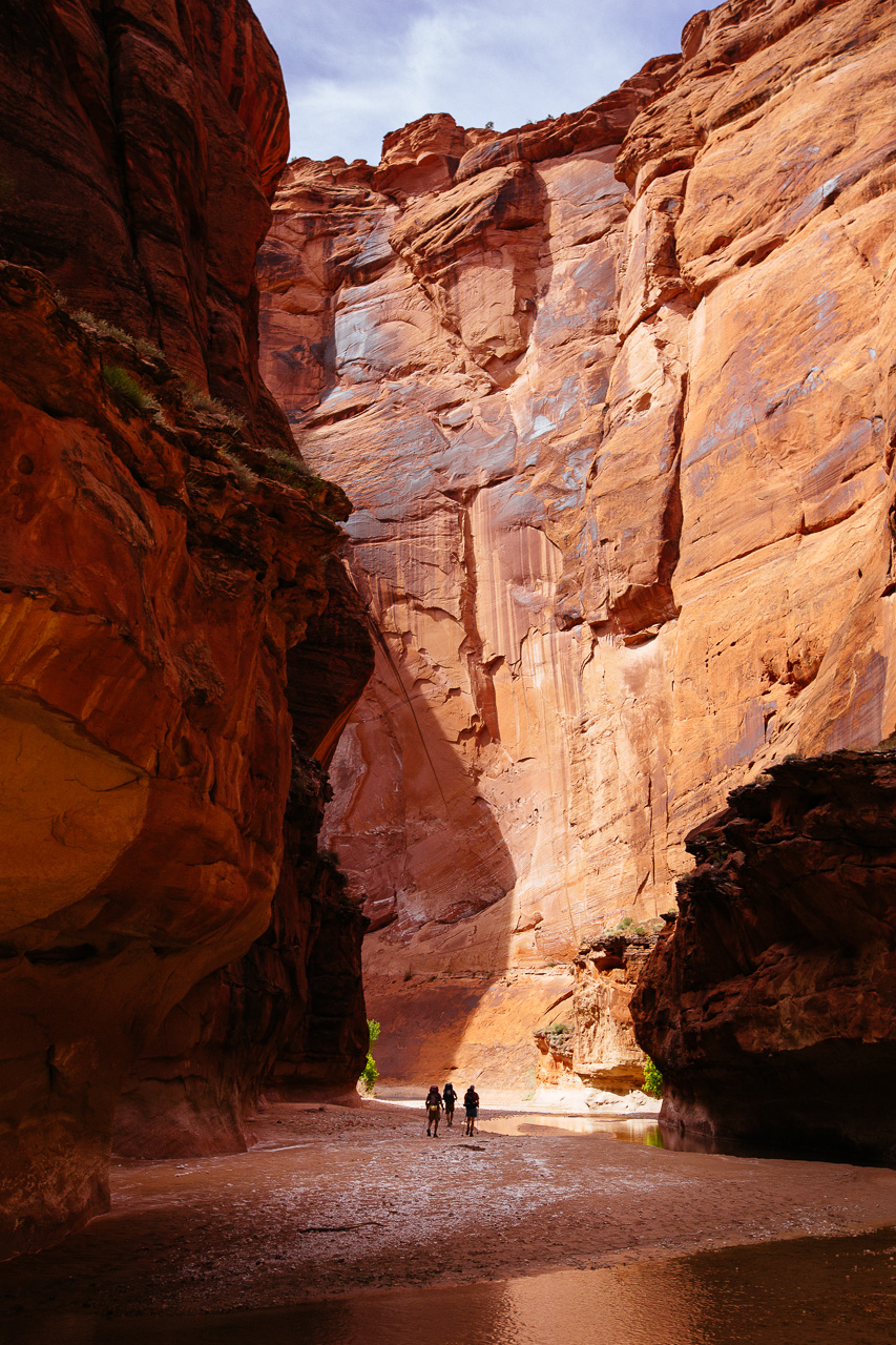
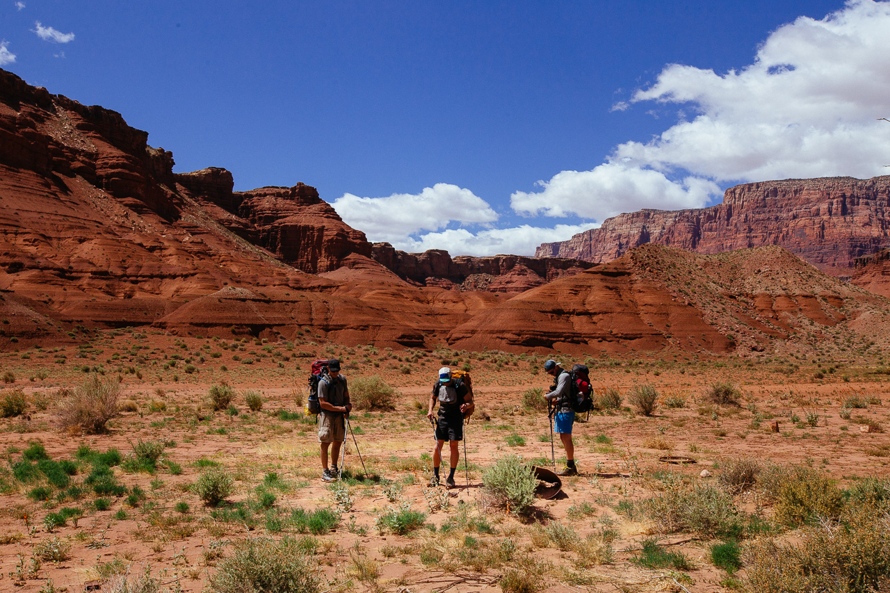
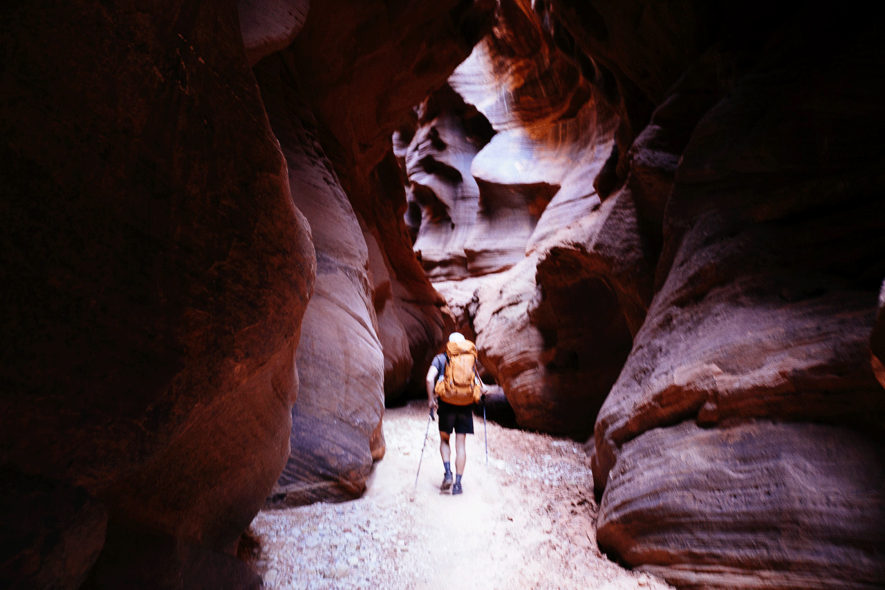 Walk, walk, walk. This would be our longest day at 16 miles. Our plan was to meet the rest of our group at the confluence of the Paria River and Buckskin Gulch.
 Camp 1 was high above the river, nestled on the side of the canyon. A useful rock table for our kitchen turned out to be be some sort of mouse infested castle.
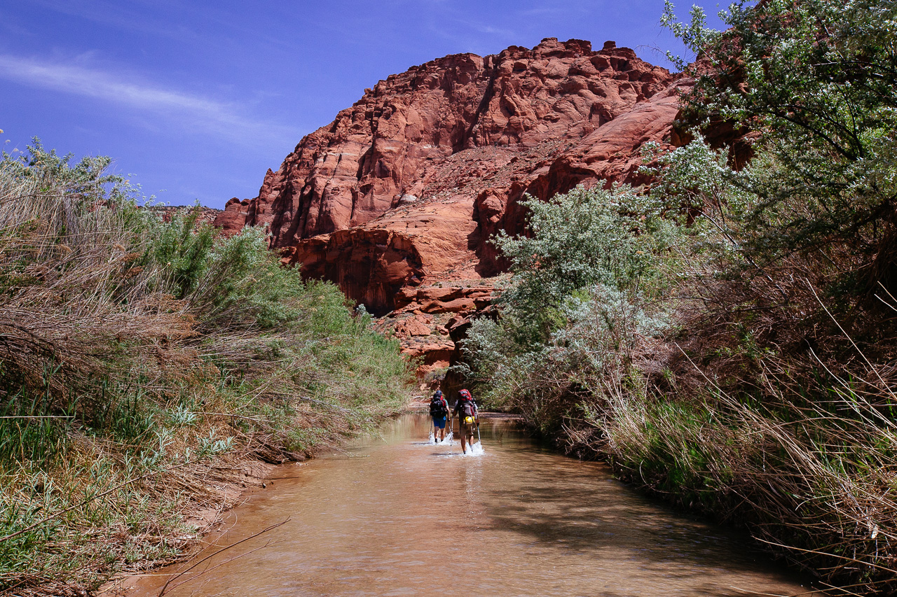
 Day 2 would mark the first time we all got to hike together. Here you can see Collin making one of many river crossings.
 This meander would be our first side trip out of the canyon. I took the opportunity to relieve myself far from the fragile main canyon. Trying my best to not use the dreaded “Wag Bags”.
 Andrew detoured through a pool to cool down his bulging calves. The canyon was getting wider and as a result offered less cover from the hot desert sun.
 Soon we were settled in at Camp 2. A nice little bank on the south side of the river, shaded by gigantic Cottonwood Trees. Ben would later lead us all through a much needed yoga class.
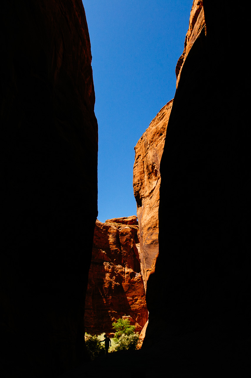
 The best part about short days was the leisure time we got. After setting up camp, we decided to scramble up the hill behind us. It led to another canyon situated high above the river. It was filled with all sorts of desert plants, and more blooming cactus than one could count.
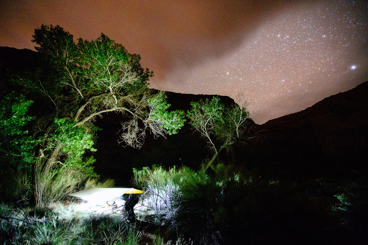
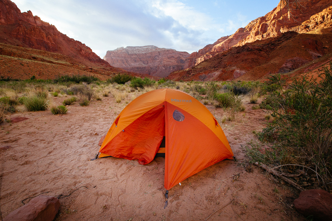
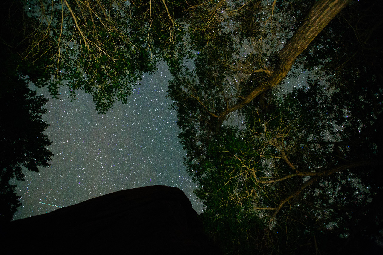 The skies above showed no sign of rain, so we slept out. Open air and views of the stars are one of the best things to fall asleep to.
 Packing and unpacking camp is one of the many daily routines you get into thru hiking.
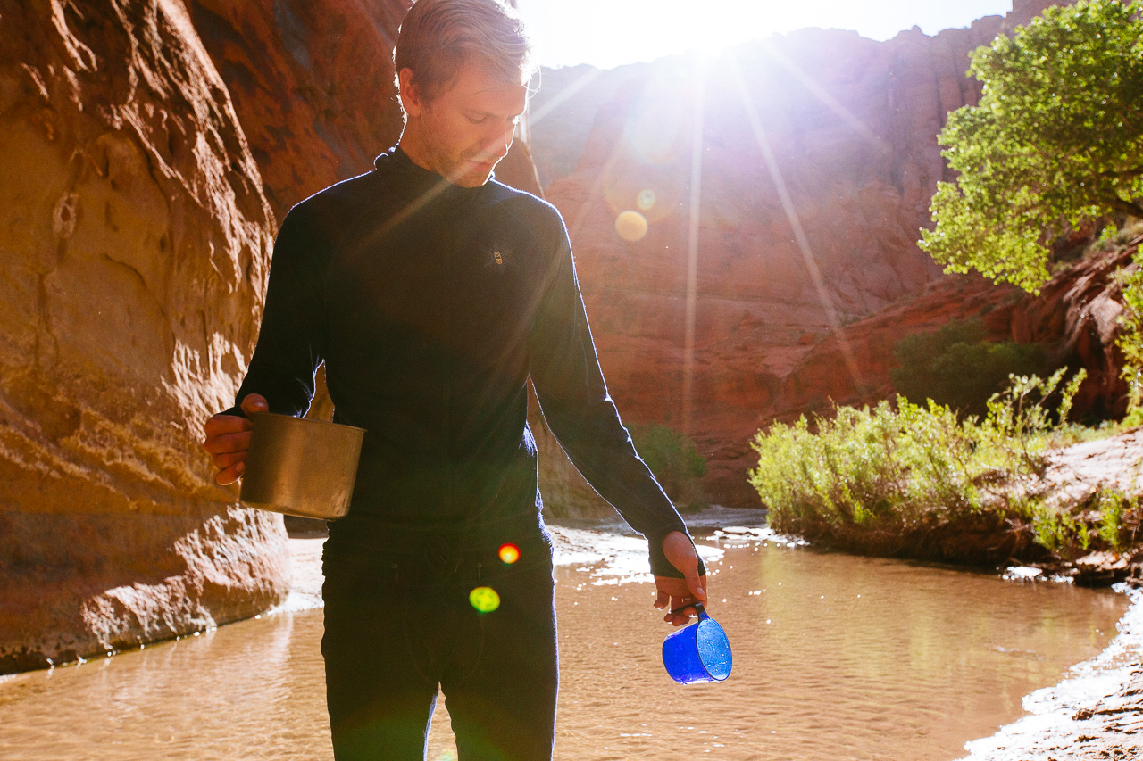 Gather water for oatmeal, coffee and drinking the rest of the day.
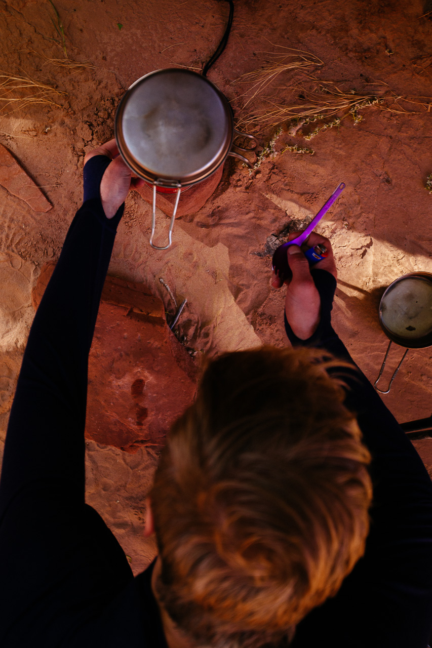 Boil said water, you want your coffee and oatmeal to be hot, right?
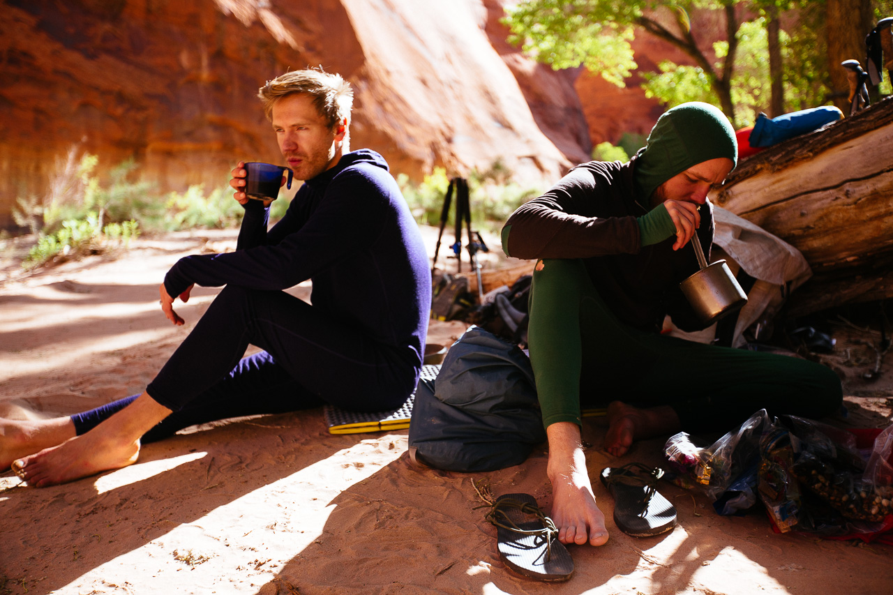 Eat that oatmeal. Add in some cranberries, dried milk, nuts, whatever you fancy (and brought). Wash it down with some coffee and finally wake up. photo: Will Harlan
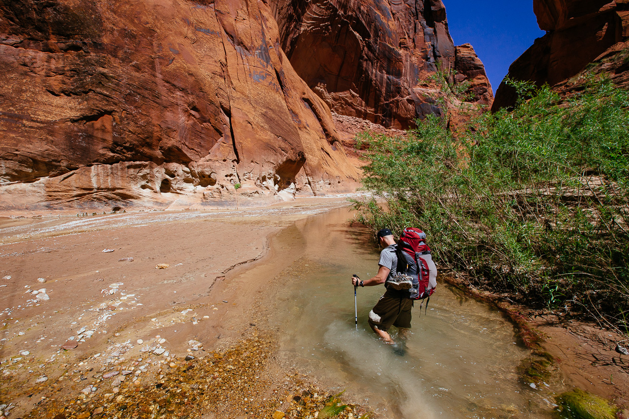
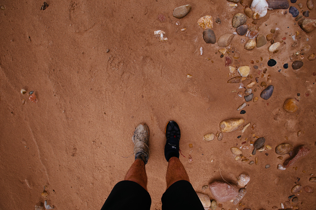
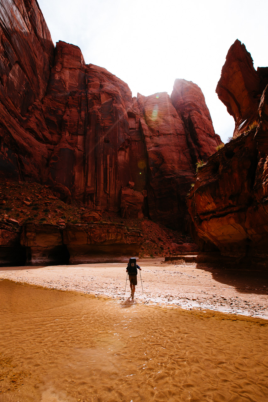 Then you’re off! Every day in the Paria you start out with dry shoes and socks. This lasts for roughly one minute as your second step is usually into the river.
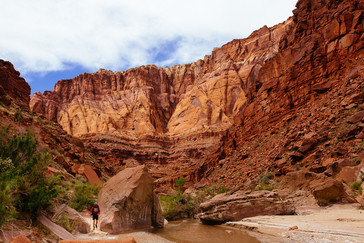
 Every turn of this canyon brought something new. We started at 6,000 feet and ended at 3,000. It made for an amazing walk through time as different layers and ecosystems became exposed.
 The bright vibrant oranges of the rock faces contrasted greatly with the greenery that became more and more abundant every step we took. Here, Ben, Yoga Master, and wise beyond his years, is taking the shortcut over the wash.
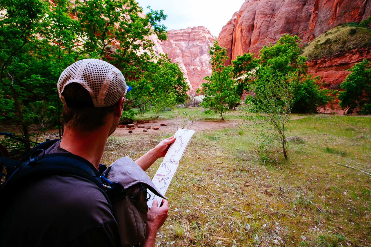 Whoever made the map must have been coming up it rather than down. We quickly realized the map needed to be used upside down to orient with our direction of travel. Campsites lower on the river become bigger and more elaborate.
 Halfway through Day 3 we came across The Hole, a side shoot off the canyon with a murkly little pond. It’s description in the book made it seem more awesome than it turned out to be.
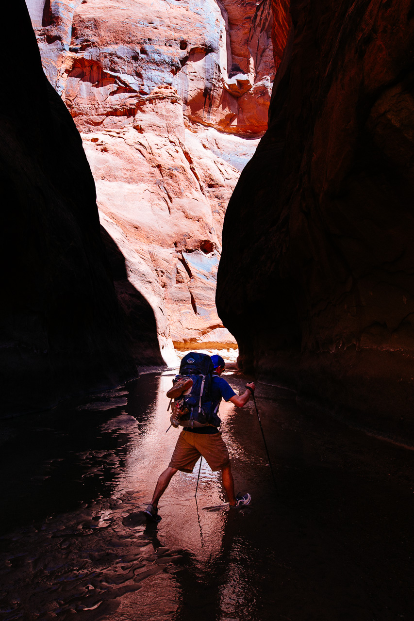
 It was hard to capture the amount of water hiking we had to do on this trip. Here Andrew and Will are far ahead, hiking through the only route down the canyon. Deep in the middle of the river.
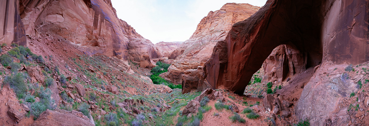
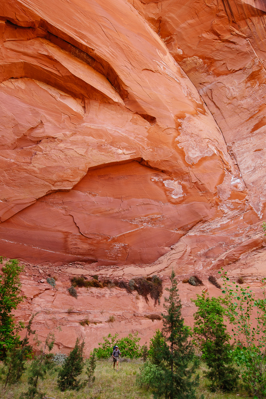
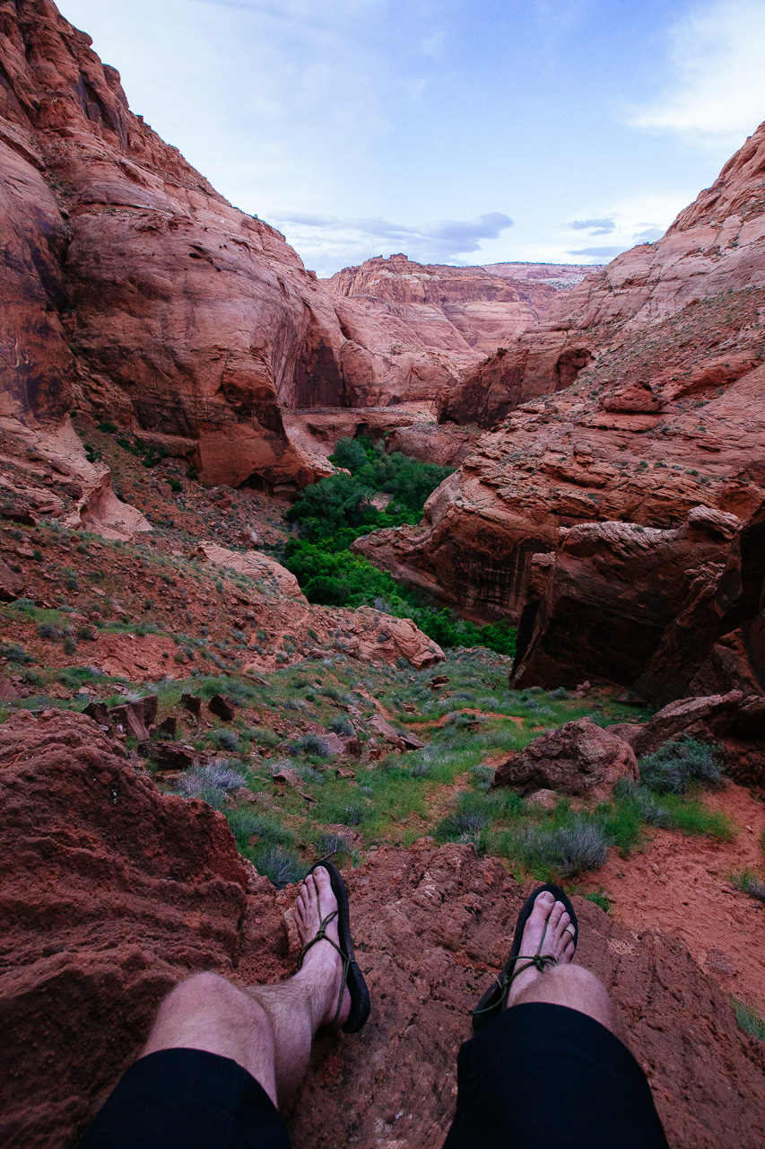
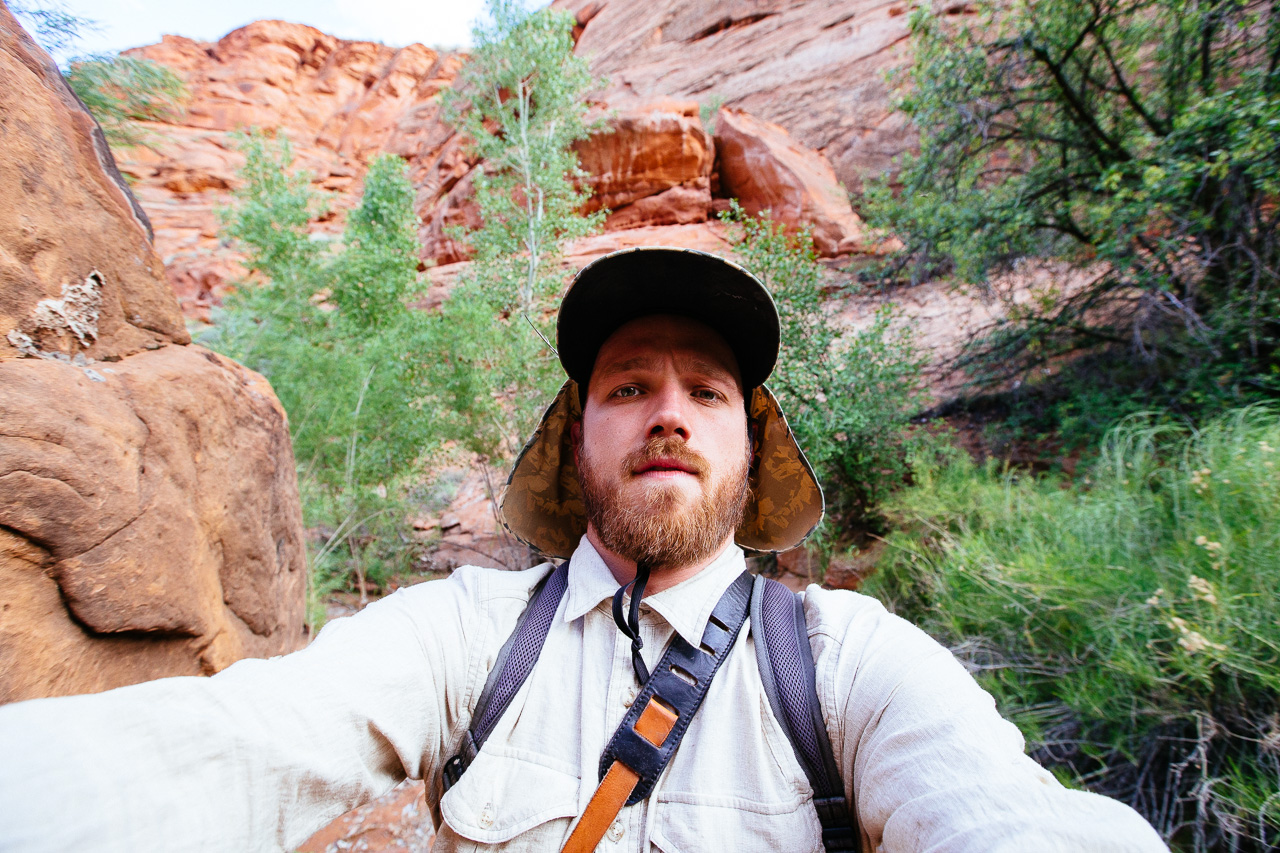 Obligatory selfie as Mars and I were hiking up to see the biggest arch of the trip, Wrather Arch (seen at the top of the page). This little valley seemed to be from a land before time. Decay and growth, much more so than any other part of the canyon had to offer. It felt like a walk through a park.
 Usually on longer backpacks I forego so called camp shoes, seeing as my regular shoes work just fine. This trip they were very necessary, as everyone’s shoes were wet sponges at the end of the day and no one wants to walk on a wet sponge.
 Slowly throughout the day the clouds rolled in and it marked the first day we would elect to set up shelter. Will, against everyone’s advice, decided to keep using his Therm-a-Rest inflatable pad as a camp chair. His eperiment would end when 40 or so cactus needles made their way into his pad at dinner.
 Our guide book proved to be mostly useless. Here Ben and Mars went on a wild goose chase to find petroglyphs, almost climbing out the top of the canyon. We never ended up finding them. If the authors ever read this, Ben has a few select words for you.
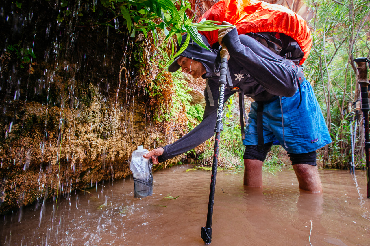 When the river is low or too silty to filter, springs such as this one offer most of the canyon’s useable water.
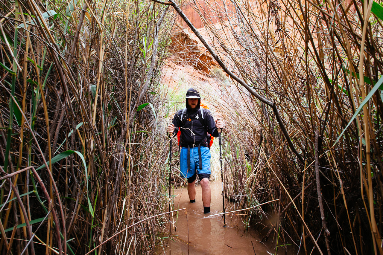 The trail into Shower Springs eluded us until we decided to just go up the creek. Luckily, there were no snakes in the grass.
 Normally this would have bummed me out. Mud Foot. No one likes Mud Foot. A few steps later, the river would wash it all off.
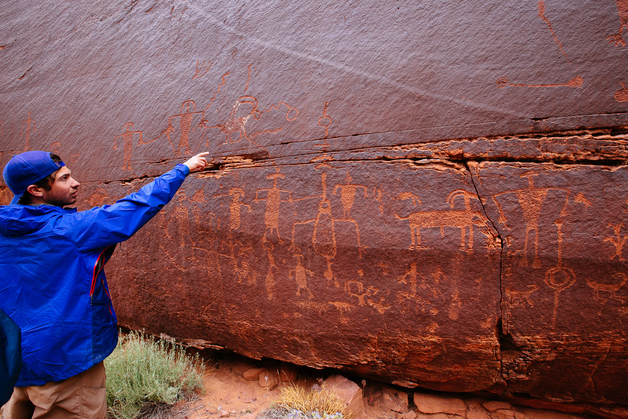
Thankfully, another group of hikers pointed us towards these petroglyphs. Collin, the trip petroglyph expert, is seen here deciphering the writing on the rock.
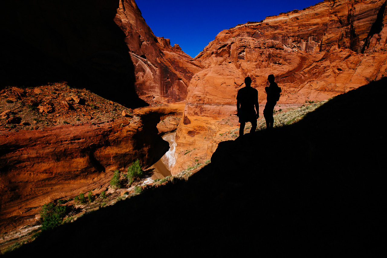
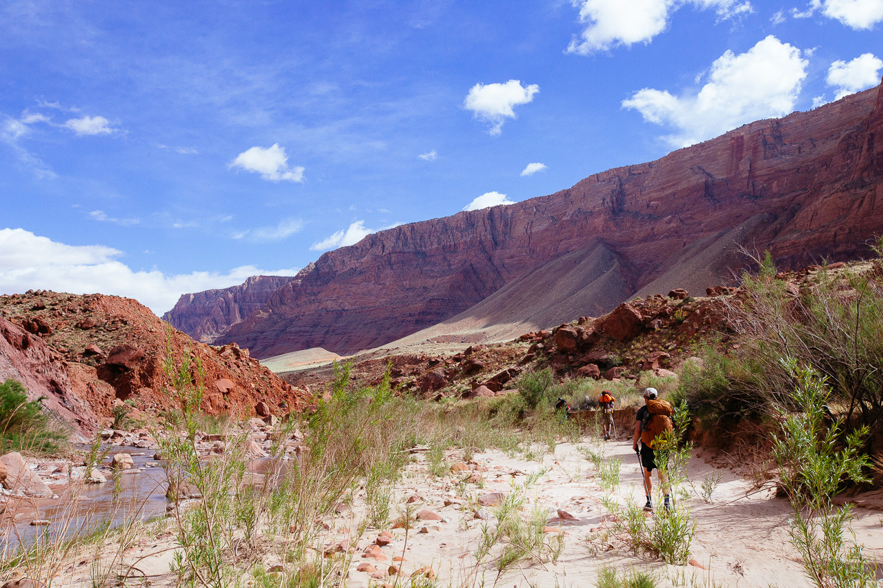
 Day 4 marked our departure from the narrow canyon and arrival into the desert. We had anticipated this part to be boring but, it proved to be just as stunning.
 A lot of the day was spent jumping over and around giant boulders. Eventually we grew tired of this and would end up taking the route above the river, through the desert.
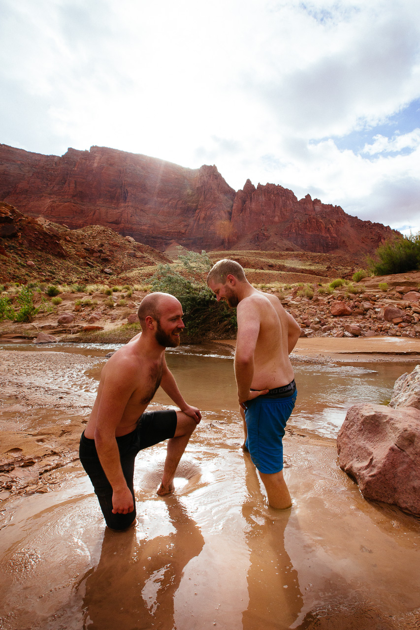 A new experience for most of us was the quick sand throughout the area. After washing off our hiking gear, Will and I decided to see just how deep we could go. photo: Mars Adams
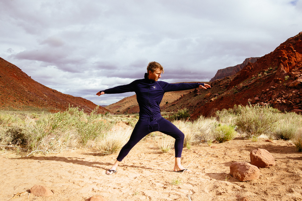 Mars, donning only a Ninja Suit, is seen doing his usual post hike yoga.
 Our last camp proved to be more of a desert than any of the previous ones. The prickly pears were unavoidable and sandals offered no protection.
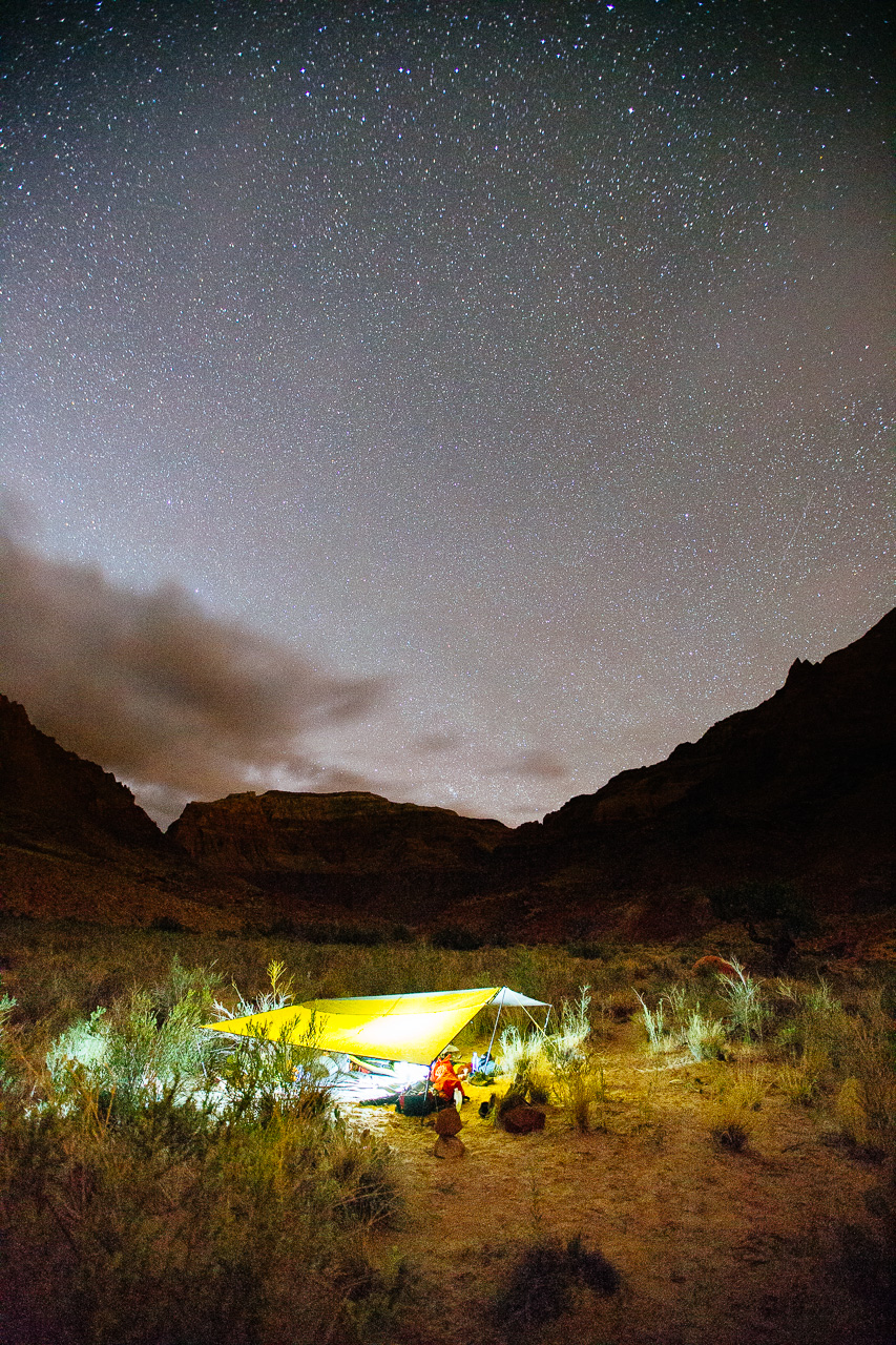 The clouds kept our minds on another rain storm and we set up the mega-tarp shelter again. In the end, no rain would come that night.
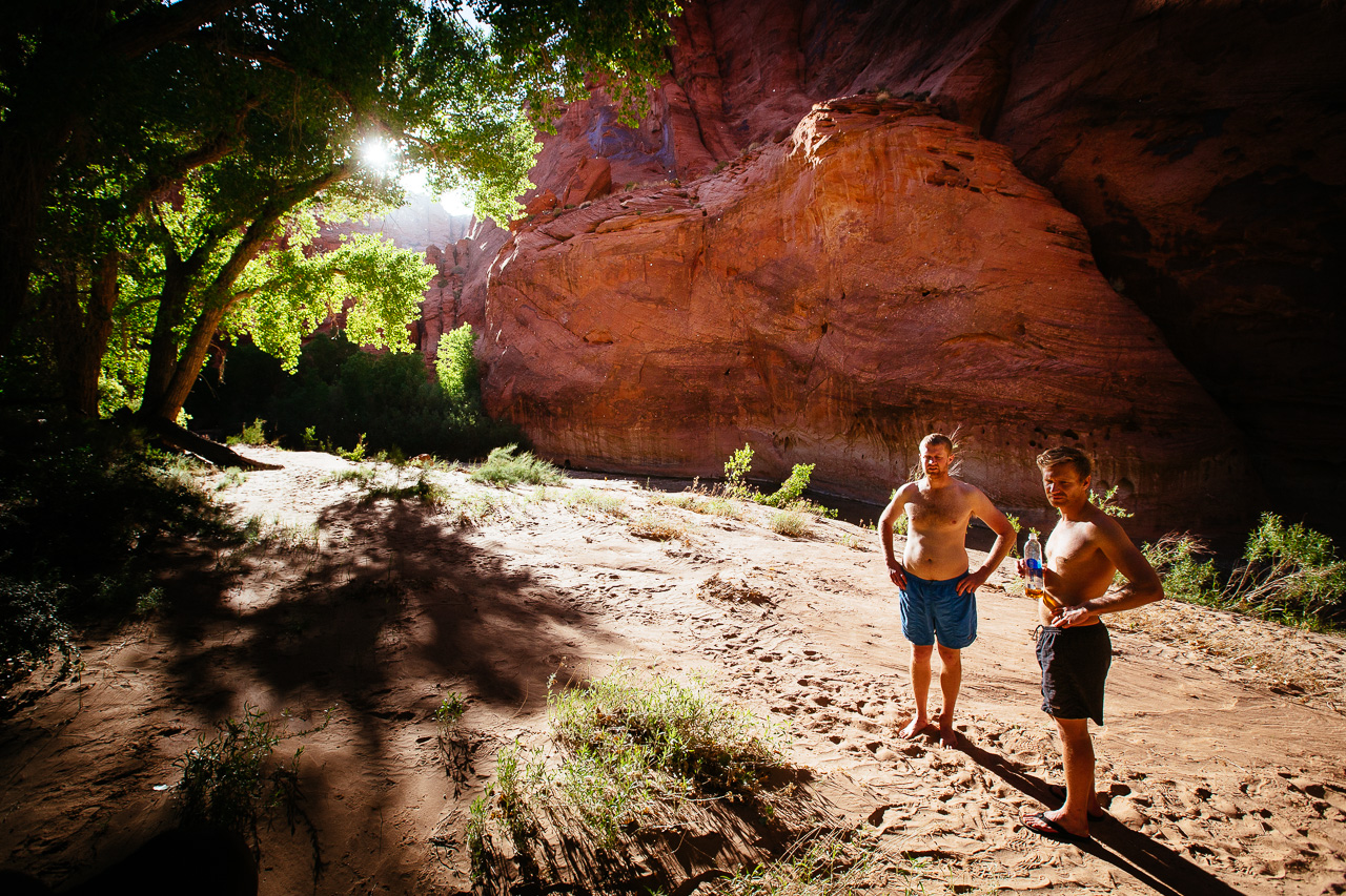
 Andrew, Mars and Will were all a little sad that our trip was coming to an end.
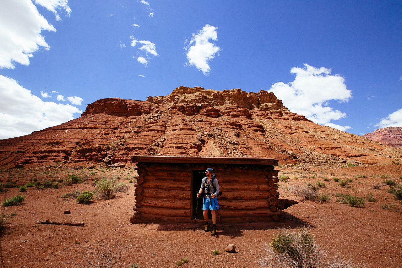 The Jim’s made their way up the canyon and surprised us with 5 miles left. Old settlement’s from Lee’s Ferry started to dot the landscape.
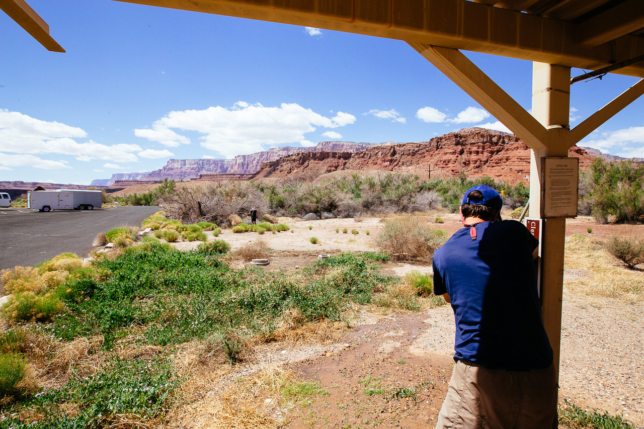 And thats it! We got to the Lee’s Ferry Boat ramp, washed our shoes, drank a beer, and jumped in the car back to Vegas.